Taiwan has asked Google to blur, or make unclear, satellite images showing a disputed landform in the South China Sea.
The images appear to show military installations on Itu Aba, which the Taiwanese call Taiping Island.
The latest images on the map application Google Earth show four Y-shaped structures forming a half circle on Itu Aba. The structures did not appear on earlier Google Map images.
Itu Aba is one of many islands, reefs, and other landforms in the disputed Spratly Islands chain in the South China Sea. Taiwan's Coast Guard directly administers Itu Aba, but it is also claimed by China, Vietnam and the Philippines.
Taiwan's defense ministry confirmed it had contacted Google after local media published the images.
“Under the pre-condition of protecting military secrets and security, we have requested Google blur images of important military facilities,” a defense ministry spokesman said.
A Google spokesperson told VOA on Thursday it takes security concerns “very seriously” and is “always willing to discuss them with public agencies and officials.” But Google added that discussions with governments in the past have never led to images being blurred.
Google's parent company is Alphabet, Inc.
Defense and coast guard officials said details about the structures are secret. “It is inconvenient for us to reveal any military facilities we are installing on Taiping Island and what their purposes are,” Defense Minister Feng Shih-kuan told The South China Morning Post.
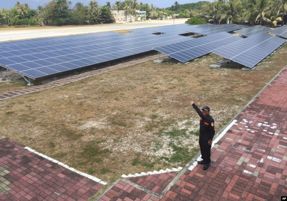
Taiwan says it operates a small military airport on Itu Aba. There is also a 10-bed hospital, a lighthouse and $129 million worth of solar panels.
Defense experts in Taiwan said the new images appear to be related to defense activities.
Dustin Wang is a scholar and former government advisor who has regularly visited Itu Aba. He told Reuters news service he thinks the structures would be used for military purposes. “But I cannot tell if it is for defending, attacking or monitoring,” he said.
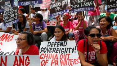
China claims much of the South China Sea, an important seaway through which more than $5 trillion of trade moves each year. Taiwan and four ASEAN members - Vietnam, the Philippines, Malaysia and Brunei - also have claims in the sea.
China's activities in the South China Sea have increased tensions with its neighbors and the United States and Japan. China has reclaimed land on several disputed reefs through dredging, and built air fields and port facilities.
In July, an international court ruled against China in a case brought by the Philippines. The court rejected China's historical claims to large areas of the South China Sea.
Both China and Taiwan, which China considers a rebel province, rejected the ruling.
I'm Caty Weaver.
Bryan Lynn wrote this report for VOA Learning English. His report was based on stories from Reuters and The South China Morning Post newspaper. Mario Ritter was the editor.
Words in This Story
blur - v. to make an image unclear
installation - n. a military or industrial complex
chain - n. a series or group of things connected in some way
facility - n. something (such as a building or large piece of equipment) that is built for a specific purpose
reveal - v. to make (something) known
monitor - v. to watch, observe, listen to, or check (something) for a special purpose over a period of time
inconvenient - adj. not easy; causing trouble or problems
dredging - v. to dig out and clear material from a body of water
We want to hear from you. Write to us in the Comments section, and visit our Facebook page.


